MEGA CONSTRUCTION

The engineering geological maps or plans are a powerful tool for understanding the nature of the ground conditions at a study site and in the design and project development stages.
Geographical terrain would determine how a civil engineer plans his roads, railways and bridges. The geology of this terrain would determine how the engineer founds his structures, tunneling methods he would adopt and the sort of bridges, dams and canals he would build.

Topographic information is also sometimes represented through colour schemes. Topographic maps are especially important for gathering surveying data as well as for road design. In fact, these are two of the applications you may encounter during an engineering design technology program.

Types of Maps
- General Reference (sometimes called planimetric maps)
- Topographic Maps.
- Thematic.
- Navigation Charts.
- Cadastral Maps and Plans.

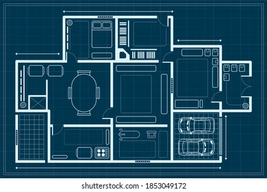
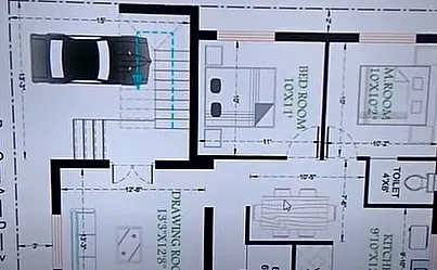
A floor plan is one of the construction drawings that you’ll find included in a set of blueprints. They appear alongside site plans, elevation plans, and other detailed working drawings that offer builders a road map for how to build a structure.
